

Luxembourg
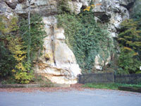
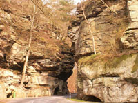
The north of Luxembourg, the Ösling called and is part of the Ardennes. The area has an average altitude of between 400 and 500 meters and consists of wooded mountains, hills and river valleys. The Kneiff forms the highest point of land with 560 meters. Much better known is the Burgplatz, but this mountain is two meters lower. In the north of the country to the German border is also the 789 km ² large German-Luxembourg Nature Park (of which 357 km ² located in Luxembourg). Other parks in the Ösling are the Natural Park and the Natural Upper Sauer. 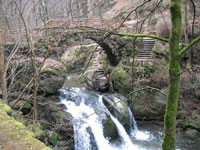 The southern part of the country is hilly to mention. It is less rugged and more suitable for agriculture and living in this area therefore more people and is more industry than in the north. It is therefore also known as the Gutland and it belongs to the Cuesta Country of Lorraine. The area displays more diversity than the north and is geographically divided into several sub-regions. The Luxembourg plateau in south-central Luxembourg, is a large, flat sandstone formation which the capital of the country is situated. Little Switzerland (with the Mullerthal) is a rocky terrain with dense forests and is a tourist attraction. Here is a famous waterfall, the Schiessentümpel. The Moselle valley is the lowest-lying subregion and stretches along the southern border of the country. The Red Countries in the extreme south and southwest of the country are the industrial heart of Luxembourg and here are therefore most major sites.
The border with Germany is for the most part formed by the Our, Sure and Moselle. Other rivers are the Alzette in the south of the country, Clerve in the north, the Attert and Wiltz. The valleys of the Sure and Attert forms the boundary between the Gutland and Ösling. The lowest point in the country (129 meters above sea level) is located at the place where the Sure and Moselle rivers meet, at Wasserbillig.
 <
<
